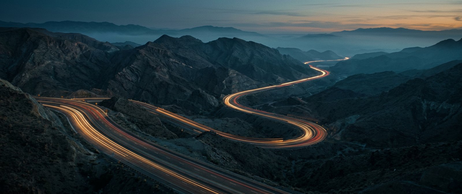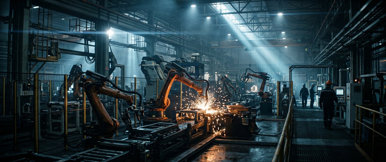
Commissioned by the National Iranian Oil Company to document the engineering scale and logistical vitality of the 160-kilometer Mashhad–Sarakhs corridor.
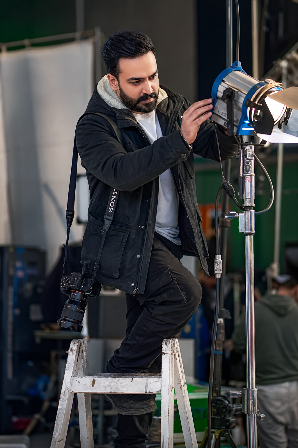
Filming a 160-kilometer infrastructure artery demanded dawn-to-blue-hour scheduling across mountain passes, desert plains, and heavy transport checkpoints.
We paired stabilized vehicle-to-vehicle DJI Ronin RS4 tracking shots with high-altitude twilight aerials and custom 3D route telemetry in After Effects and Cinema 4D, delivering an authoritative flagship documentary film.